
WallCAP Project Archive
Results, information and data from WallCAP have primarily been archived with the Archaeology Data Service (ADS). ADS is the only accredited digital repository for heritage data in the UK, and they provide long-term digital preservation of data. All resources deposited with ADS are Open Access, so all of our archives can be accessed by all, for free!
Our archive has been divided into several sections, described below.
The overall WallCAP archive can be accessed here: https://doi.org/10.5284/1100068
WallGIS: The interactive map, database files, GIS files and other information linked to the WallGIS, the new database and GIS of all the features of Hadrian’s Wall, can be accessed here: https://doi.org/10.5284/1100071
Heritage at Risk (HAR): the archive of excavation reports, geophysical survey reports, and specialist reports associated with the HAR strand of the project can be accessed here: https://doi.org/10.5284/1100069
Stone Sourcing & Dispersal (SSD): the archive of data and geology guides associated with the SSD strand of the project can be accessed here: https://doi.org/10.5284/1100070
Excavation Reports
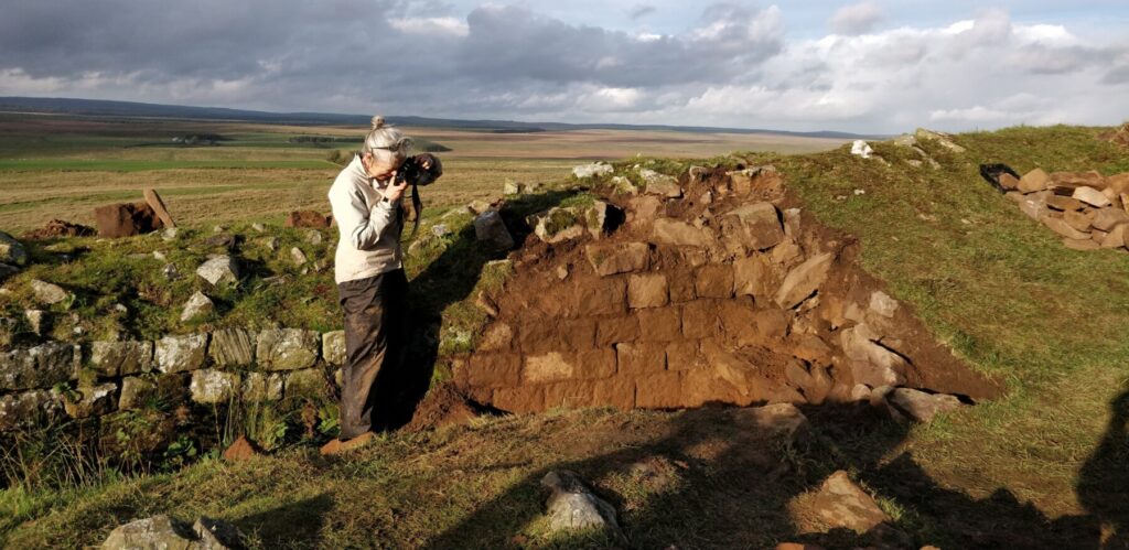
Walltown Crags: The excavation report for work carried out by WallCAP staff at Walltown Crags in October 2020 is now available. Check it out for all the details about what we uncovered at the site, it can be downloaded here.
Port Carlisle: The excavation report for the evaluation work carried out at Port Carlisle, to determine if the existing field gate could be moved in order to prevent further damage to the standing section of Hadrian’s Wall, is now available. It can be downloaded here. Project staff carried out a further watching brief while the gate was relocated and the section of the Wall was conserved – the report for this work can be downloaded here.
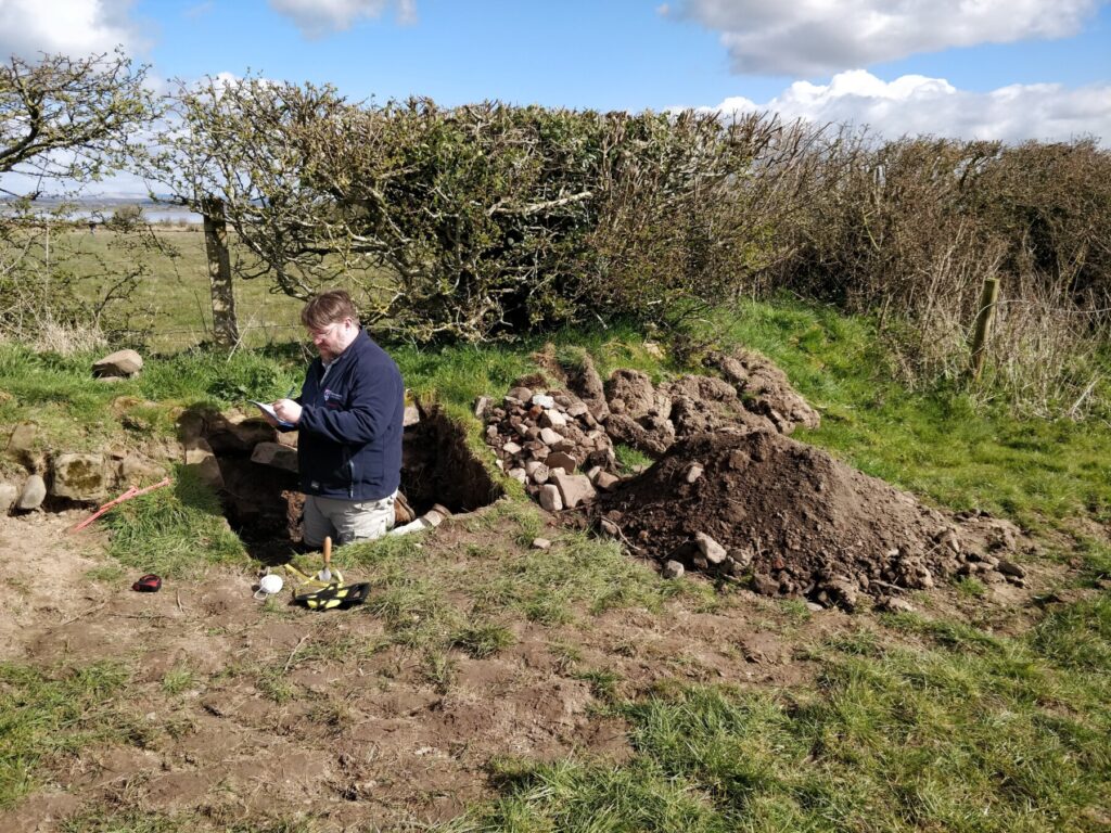
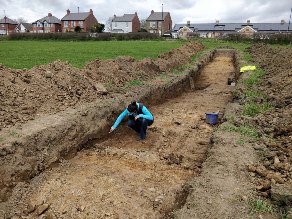
Heddon on the Wall: The excavation report for the excavation work carried out at Heddon on the Wall is now available. This work opened a 2m by 40m trench across the line of the Vallum to examine the surviving remains of the ditch and banks in a ploughed field. The report can be downloaded here.
The reports on the excavations at Cambeck and Corbridge are forthcoming, and further reports and information resulting from our fieldwork projects in Spring/Summer 2021 will be made freely available to all when they are completed.
Geophysical Survey Reports
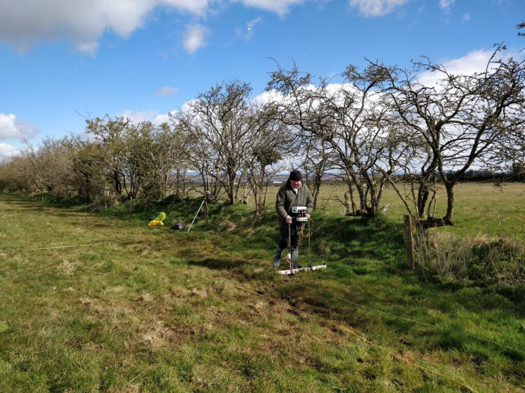
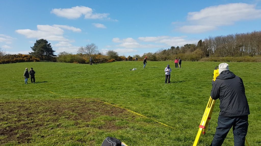
WallCAP undertook geophysical survey at a number of sites along the Wall. The reports showing the results of these surveys can be accessed below.
Heddon on the Wall – report on the results of ground generating radar, magnetometry and resistivity surveys can be downloaded here.
Corbridge – report on the results of magnetometry and resistivity surveys on the Corchester Playing Field can be downloaded here.
Thirlwall Castle – report on the results of magnetometry, resistivity and laser scanning surveys can be downloaded here.
Cambeck – report on the results of magnetometry and resistivity surveys at Cambeck, north of Brampton, Cumbria, can be downloaded here.
Drumburgh – report on the results of magnetometry and resistivity surveys at the site of Drumburgh fort in Cumbria can be downloaded here.
Port Carlisle – report on the results of magnetometry and resistivity surveys at Port Carlisle, Cumbria can be downloaded here.
Conservation Reports
The reports from the conservation work at Peel Gap and Cat Stairs, and from Walltown Crags and Mucklebank turret have now been completed!
The Peel Gap and Cat Stairs Report can be downloaded here.
The Walltown Crags and Mucklebank Turret Report can be downloaded here.
WallCAP also completed some scrub and vegetation clearance from the Vallum near Portgate in December 2019. A short report documenting this work can be downloaded here.
Village Atlas
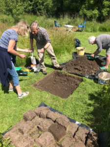
The Village Atlas Project focussed on six historic villages and townships dispersed along the length of Hadrian’s Wall: Byker (Newcastle, east), Benwell (Newcastle, west), Heddon-on-the-Wall (Northumberland), Gilsland (Northumberland & Cumbria), Walton (Cumbria), and Bowness-on-Solway (Cumbria). This work was completed for WallCAP by The Archaeological Practice Ltd.
The overall aim of this work was to enhance the interpretation and appreciation of the long-term history of these locations. The work focussed on the historic township, but also the named village and adjacent stretch of Hadrian’s Wall, and the community was involved in the project through test pitting in each location. The results were presented for each village/township in the form of a summary booklet, and the six individual reports have also been amalgamated into a single large book to contain background information on wider themes.
The individual Village Atlas reports can be downloaded at the following links
Byker Report
Benwell Report
Heddon-on-the-Wall Report
Gilsland Report
Walton Report
Bowness-on-Solway Report